
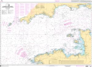
Chart SHOM7311
SHOM Chart About This Chart: The chart you are viewing is a navigational chart by the Naval Hydrographic and Oceanographic Service (SHOM).
Buy Now
You will be ferried to one of our trusted chart printers to securely complete your purchase.
Want to purchase from a retailer near you? Locate Agent
- Scale: 375,000
- Actual Chart Size: 44.3” x 32.3”
- Paper Size: 36.0” x 48.0”
- Edition Year: 2019
- Corrected Date: 2026-10-20