
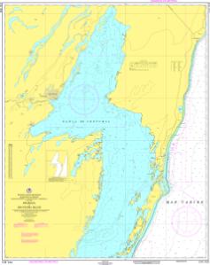
Chart SM933
SEMAR Chart About This Chart: The chart you are viewing is a navigational chart by the Mexican Hydrographic Office (SEMAR - Secretaría de Marina Armada de México).
Buy Now
You will be ferried to one of our trusted chart printers to securely complete your purchase.
Want to purchase from a retailer near you? Locate Agent
- Scale: 1:100,000
- Actual Chart Size: 36.5” x 46.0”
- Paper Size: 42.0” x 50.0”
- Edition Date: 2008-11-01
- Corrected Date: 2008-11-01