
NOAA Nautical Chart 18645

Gulf of the Farallones;Southeast Farallon

OceanGrafix 100% up-to-date chart

Chart 18645OG

NOAA Custom Chart (Updated) Updated Chart: This is a NOAA chart by OceanGrafix, printed on demand with all the latest NOAA updates as of the print date.
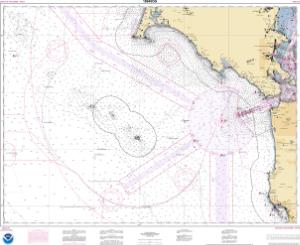
Chart 18645OG: Gulf of the Farallones;Southeast Farallon
Buy Now

You will be ferried to one of our trusted chart printers to securely complete your purchase.

Want to purchase from a retailer near you? Locate Agent

  • Scale: 100,000
  • Actual Chart Size: 38.5” x 31.6”
  • Paper Size: 36.0” x 41.0”

USCG Carriage Requirements: The U.S. Coast Guard has asked that questions and comments regarding nautical chart carriage requirements be directed to the U.S. Coast Guard Navigation Center at: www.navcen.uscg.gov/contact/contact-us.

NOAA Chart Updates: View weekly NOAA navigation updates & critical corrections.

Scale Notice: PLEASE REVIEW YOUR CHART CAREFULLY! The data in some areas may be optimized by a different scale than that of this chart. Create your own custom chart.
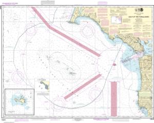
Chart 18645

Traditional NOAA Version (Not Updated) Not Updated Chart: These canceled charts do not meet U.S. Coast Guard carriage requirements for regulated vessels and should not be used for navigation.

Chart 18645: Gulf of the Farallones;Southeast Farallon
Buy Now

You will be ferried to one of our trusted chart printers to securely complete your purchase.

Want to purchase from a retailer near you? Locate Agent

  • Scale: 100,000
  • Actual Chart Size: 39.0” x 31.3”
  • Paper Size: 36.0” x 43.0”
  • NOAA Edition #: 28
  • NOAA Edition Date: 2013-05-01
  • NTM Notice/Date: 4022 2022-10-01
  • NTM: https://msi.nga.mil
  • LNM Notice/Date: 3822 2022-09-20

NTM = NGA Notice to Mariners; LNM = Local Notice to Mariners

Click the chart to zoom in; drag or scroll to move around.