
NOAA Nautical Chart 12366

Long Island Sound and East River Hempstead Harbor to Tallman Island

OceanGrafix 100% up-to-date chart

Chart 12366OG

NOAA Custom Chart (Updated) Updated Chart: This is a NOAA chart by OceanGrafix, printed on demand with all the latest NOAA updates as of the print date.
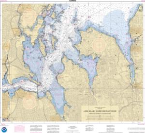
Chart 12366OG: LI Sound and E River Hempstead Harbor to Tallman Island
Buy Now

You will be ferried to one of our trusted chart printers to securely complete your purchase.

Want to purchase from a retailer near you? Locate Agent

  • Scale: 20,000
  • Actual Chart Size: 36.4” x 33.3”
  • Paper Size: 36.0” x 39.0”

USCG Carriage Requirements: The U.S. Coast Guard has asked that questions and comments regarding nautical chart carriage requirements be directed to the U.S. Coast Guard Navigation Center at: www.navcen.uscg.gov/contact/contact-us.

NOAA Chart Updates: View weekly NOAA navigation updates & critical corrections.

Scale Notice: PLEASE REVIEW YOUR CHART CAREFULLY! The data in some areas may be optimized by a different scale than that of this chart. Create your own custom chart.
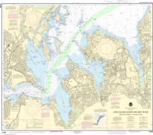
Chart 12366

Traditional NOAA Version (Not Updated) Not Updated Chart: These canceled charts do not meet U.S. Coast Guard carriage requirements for regulated vessels and should not be used for navigation.

Chart 12366: Long Island Sound and East River Hempstead Harbor to Tallman Island
Buy Now

You will be ferried to one of our trusted chart printers to securely complete your purchase.

Want to purchase from a retailer near you? Locate Agent

  • Scale: 20,000
  • Actual Chart Size: 36.2” x 32.2”
  • Paper Size: 36.0” x 40.0”
  • NOAA Edition #: 31
  • NOAA Edition Date: 2021-09-23
  • NTM Notice/Date: 0524 2024-02-03
  • NTM: https://msi.nga.mil
  • LNM Notice/Date: 0424 2024-01-23

NTM = NGA Notice to Mariners; LNM = Local Notice to Mariners

Click the chart to zoom in; drag or scroll to move around.