
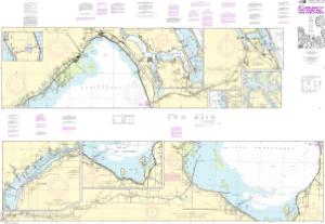
Chart 11428
NOAA Chart (Not Updated) Not Updated Chart: These canceled charts do not meet U.S. Coast Guard carriage requirements for regulated vessels and should not be used for navigation.
Buy Now
You will be ferried to one of our trusted chart printers to securely complete your purchase.
Want to purchase from a retailer near you? Locate Agent
- Scale: 40,000
- Actual Chart Size: 58.9” x 40.7”
- Paper Size: 42.0” x 63.0”
- NOAA Edition #: 38
- NOAA Edition Date: 2021-09-23
- NTM Notice/Date: 1424 2024-04-06
- NTM: https://msi.nga.mil
- LNM Notice/Date: 1324 2024-03-26
NTM = NGA Notice to Mariners; LNM = Local Notice to Mariners