
Chart 71
NGA Chart About This Chart: Printed by OceanGrafix using the most recent data provided by the National Geospatial-Intelligence Agency (NGA). This data may no longer be current: consult the “Corrected through NM ##/##” note in the chart margin and apply all Notice to Mariners corrections issued since.
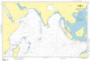
Per NGA: charts in this region cannot be viewed.
Buy Now
You will be ferried to one of our trusted chart printers to securely complete your purchase.
Want to purchase from a retailer near you? Locate Agent
- Scale: 10,000,000
- Actual Chart Size: 27.4” x 41.0”
- Paper Size: 36.0” x 43.0”
- Edition #: 4
- Edition Date: 1991-08-31
- NTM Notice/Date: 199141
- NTM: https://msi.nga.mil
NTM = NGA Notice to Mariners
This NGA chart has been cancelled by NGA, but it is still available for purchase.