
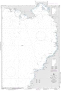
Chart 21033
NGA Chart About This Chart: Printed by OceanGrafix using the most recent data provided by the National Geospatial-Intelligence Agency (NGA). This data may no longer be current: consult the “Corrected through NM ##/##” note in the chart margin and apply all Notice to Mariners corrections issued since.
Buy Now
You will be ferried to one of our trusted chart printers to securely complete your purchase.
Want to purchase from a retailer near you? Locate Agent
- Scale: 1,000,000
- Actual Chart Size: 32.2” x 46.7”
- Paper Size: 36.0” x 49.0”
- Edition #: 46
- Edition Date: 1996-08-17
- NTM Notice/Date: 199641
- NTM: https://msi.nga.mil
NTM = NGA Notice to Mariners
This NGA chart has been cancelled by NGA, but it is still available for purchase.